
Broadwindsor topographic map
Click on the map to display elevation.
About this map
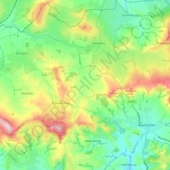
Name: Broadwindsor topographic map, elevation, terrain.
Location: Broadwindsor, Dorset, England, United Kingdom (50.80275 -2.87426 50.85194 -2.75605)
Average elevation: 128 m
Minimum elevation: 38 m
Maximum elevation: 275 m