
Thank you for supporting this site ❤️
Make a donation
Make a donation
Keego Harbor topographic map
Click on the map to display elevation.
Thank you for supporting this site ❤️
Make a donation
Make a donation
About this map
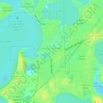
Name: Keego Harbor topographic map, elevation, terrain.
Location: Keego Harbor, Oakland County, Michigan, United States (42.59661 -83.35108 42.61793 -83.33901)
Average elevation: 286 m
Minimum elevation: 277 m
Maximum elevation: 298 m
Thank you for supporting this site ❤️
Make a donation
Make a donation