
Thank you for supporting this site ❤️
Make a donation
Make a donation
Muara topographic map
Click on the map to display elevation.
Thank you for supporting this site ❤️
Make a donation
Make a donation
About this map
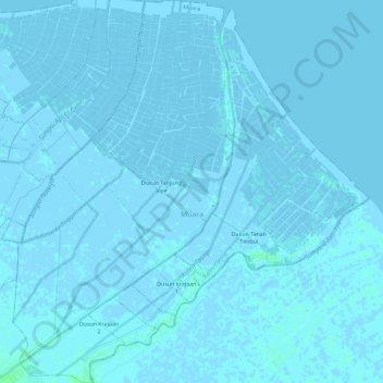
Name: Muara topographic map, elevation, terrain.
Location: Muara, West Java, Indonesia (-6.24227 107.59045 -6.18521 107.64390)
Average elevation: 0 m
Minimum elevation: -4 m
Maximum elevation: 5 m
Thank you for supporting this site ❤️
Make a donation
Make a donation
Other topographic maps
Click on a map to view its topography, its elevation and its terrain.