
Tate Cove topographic map
Interactive map
Click on the map to display elevation.
About this map
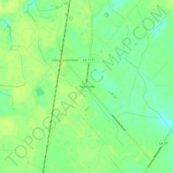
Name: Tate Cove topographic map, elevation, terrain.
Location: Tate Cove, Evangeline Parish, Louisiana, USA (30.72409 -92.26707 30.76409 -92.22707)
Average elevation: 22 m
Minimum elevation: 12 m
Maximum elevation: 29 m