
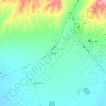
El Bordj topographic map
Interactive map
Click on the map to display elevation.
About this map
Name: El Bordj topographic map, elevation, terrain.
Location: El Bordj, Daïra Magra, M'Sila, RADP (35.59188 5.06341 35.63188 5.10341)
Average elevation: 569 m
Minimum elevation: 518 m
Maximum elevation: 715 m