
Ramanda topographic map
Interactive map
Click on the map to display elevation.
About this map
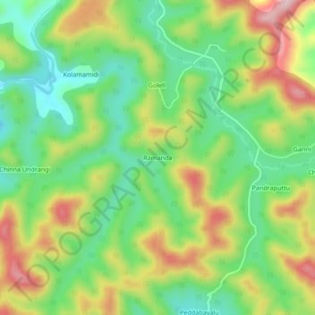
Name: Ramanda topographic map, elevation, terrain.
Location: Ramanda, Peda Bayalu, Visakhapatnam, Andhra Pradesh, India (18.18834 82.45014 18.22834 82.49014)
Average elevation: 1,051 m
Minimum elevation: 946 m
Maximum elevation: 1,202 m