
Thank you for supporting this site ❤️
Make a donation
Make a donation
Orange River topographic map
Click on the map to display elevation.
Thank you for supporting this site ❤️
Make a donation
Make a donation
About this map
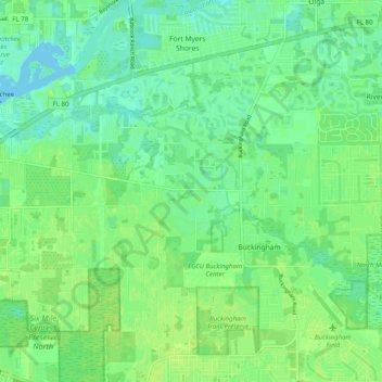
Name: Orange River topographic map, elevation, terrain.
Location: Orange River, Lee County, Florida, United States (26.65192 -81.79841 26.69748 -81.69901)
Average elevation: 7 m
Minimum elevation: 0 m
Maximum elevation: 12 m
Thank you for supporting this site ❤️
Make a donation
Make a donation
Other topographic maps
Click on a map to view its topography, its elevation and its terrain.