
Thank you for supporting this site ❤️
Make a donation
Make a donation
Jay Peak topographic map
Click on the map to display elevation.
Thank you for supporting this site ❤️
Make a donation
Make a donation
About this map
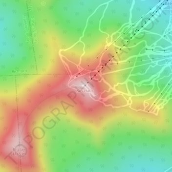
Name: Jay Peak topographic map, elevation, terrain.
Location: Jay Peak, Westfield, Orleans County, Vermont, United States (44.92418 -72.52574 44.92428 -72.52564)
Average elevation: 838 m
Minimum elevation: 580 m
Maximum elevation: 1,163 m
Thank you for supporting this site ❤️
Make a donation
Make a donation