
Zante topographic map
Interactive map
Click on the map to display elevation.
About this map
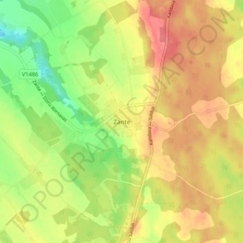
Name: Zante topographic map, elevation, terrain.
Location: Zante, Kandavas novads, Kurland, Lettland (56.81661 22.71578 56.85661 22.75578)
Average elevation: 128 m
Minimum elevation: 90 m
Maximum elevation: 158 m