
Waterford topographic map
Interactive map
Click on the map to display elevation.
About this map
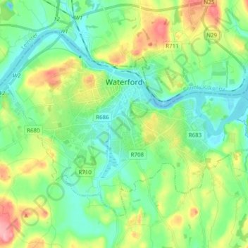
Name: Waterford topographic map, elevation, terrain.
Location: Waterford, County Waterford, Munster, Ireland (52.21024 -7.18695 52.27982 -7.03388)
Average elevation: 33 m
Minimum elevation: -4 m
Maximum elevation: 106 m