
Dériki topographic map
Interactive map
Click on the map to display elevation.
About this map
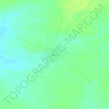
Name: Dériki topographic map, elevation, terrain.
Location: Dériki, Dosso, Niger (13.41737 3.29494 13.45737 3.33494)
Average elevation: 250 m
Minimum elevation: 244 m
Maximum elevation: 256 m