
Říčany topographic map
Interactive map
Click on the map to display elevation.
About this map
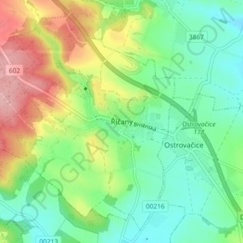
Name: Říčany topographic map, elevation, terrain.
Location: Říčany, okres Brno-venkov, Zuid-Moravië, Zuidoost, Tsjechië (49.19634 16.34915 49.23367 16.41277)
Average elevation: 362 m
Minimum elevation: 307 m
Maximum elevation: 465 m