
Kouria topographic map
Interactive map
Click on the map to display elevation.
About this map
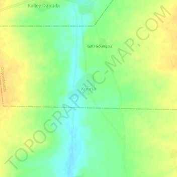
Name: Kouria topographic map, elevation, terrain.
Location: Kouria, Dogondoutchi, Dosso, Niger (13.53700 3.72770 13.57700 3.76770)
Average elevation: 253 m
Minimum elevation: 237 m
Maximum elevation: 266 m