
Thank you for supporting this site ❤️
Make a donation
Make a donation
Lubanzi topographic map
Click on the map to display elevation.
Thank you for supporting this site ❤️
Make a donation
Make a donation
About this map
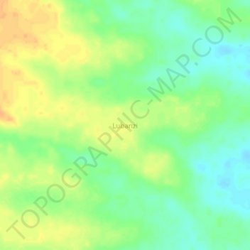
Name: Lubanzi topographic map, elevation, terrain.
Location: Lubanzi, Tanganyika, Democratic Republic of the Congo (-6.15333 26.48000 -6.11333 26.52000)
Average elevation: 647 m
Minimum elevation: 631 m
Maximum elevation: 662 m
Thank you for supporting this site ❤️
Make a donation
Make a donation