
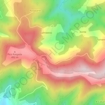
El Postal topographic map
Interactive map
Click on the map to display elevation.
About this map
Name: El Postal topographic map, elevation, terrain.
Location: El Postal, Culmieiros, Castropol, Asturies, 33768, Espagne (43.46859 -6.99432 43.48859 -6.97432)
Average elevation: 335 m
Minimum elevation: 105 m
Maximum elevation: 530 m