
Gassi topographic map
Interactive map
Click on the map to display elevation.
About this map
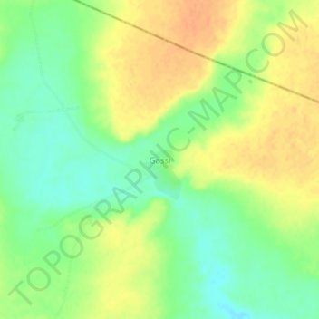
Name: Gassi topographic map, elevation, terrain.
Location: Gassi, Loga, Dosso, Niger (13.74100 3.22410 13.78100 3.26410)
Average elevation: 248 m
Minimum elevation: 229 m
Maximum elevation: 264 m