
Tagoust topographic map
Interactive map
Click on the map to display elevation.
About this map
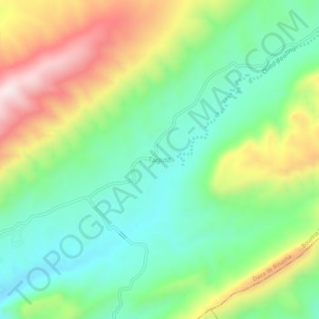
Name: Tagoust topographic map, elevation, terrain.
Location: Tagoust, Daïra Bouzina, Batna, RADP (35.20730 6.02132 35.24730 6.06132)
Average elevation: 1,212 m
Minimum elevation: 998 m
Maximum elevation: 1,587 m