
Araby topographic map
Interactive map
Click on the map to display elevation.
About this map
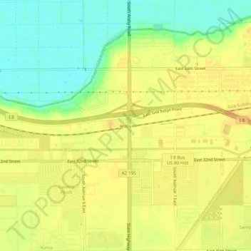
Name: Araby topographic map, elevation, terrain.
Location: Araby, Yuma County, Arizona, 85365-1213, USA (32.65560 -114.54217 32.69560 -114.50217)
Average elevation: 60 m
Minimum elevation: 40 m
Maximum elevation: 74 m