
Allison Creek topographic map
Interactive map
Click on the map to display elevation.
About this map
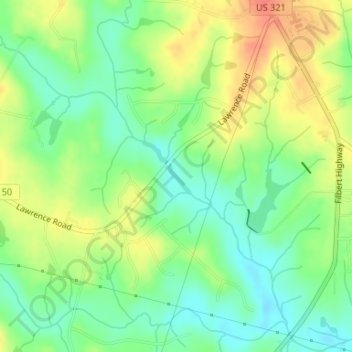
Name: Allison Creek topographic map, elevation, terrain.
Location: Allison Creek, York County, South Carolina, United States (35.07891 -81.24290 35.08143 -81.24053)
Average elevation: 215 m
Minimum elevation: 193 m
Maximum elevation: 242 m
Other topographic maps
Click on a map to view its topography, its elevation and its terrain.
Clover
United States > South Carolina > York County
Clover, York County, South Carolina, United States
Average elevation: 234 m