
Vagharshapat topographic map
Click on the map to display elevation.
Vagharshapat
The city has an average elevation of 853 metres (2,799 feet) above sea level. The climate is cold semi-arid (Köppen climate classification BSk).
About this map
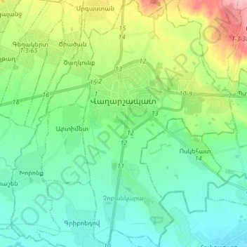
Name: Vagharshapat topographic map, elevation, terrain.
Location: Vagharshapat, Vagharshapat region, Armavir Province, Armenia (40.10318 44.27136 40.20404 44.35352)
Average elevation: 868 m
Minimum elevation: 832 m
Maximum elevation: 963 m