
Thank you for supporting this site ❤️
Make a donation
Make a donation
Rothenberg topographic map
Click on the map to display elevation.
Thank you for supporting this site ❤️
Make a donation
Make a donation
About this map
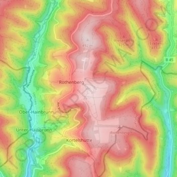
Name: Rothenberg topographic map, elevation, terrain.
Location: Rothenberg, Oberzent, Odenwaldkreis, Hessen, Duitsland (49.47055 8.89718 49.52343 8.95789)
Average elevation: 344 m
Minimum elevation: 145 m
Maximum elevation: 499 m
Thank you for supporting this site ❤️
Make a donation
Make a donation