
Thank you for supporting this site ❤️
Make a donation
Make a donation
Belecke topographic map
Click on the map to display elevation.
Thank you for supporting this site ❤️
Make a donation
Make a donation
About this map
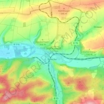
Name: Belecke topographic map, elevation, terrain.
Location: Belecke, Warstein, Kreis Soest, North Rhine-Westphalia, Germany (51.46486 8.30020 51.51370 8.37377)
Average elevation: 307 m
Minimum elevation: 243 m
Maximum elevation: 386 m
Thank you for supporting this site ❤️
Make a donation
Make a donation