
Modbury topographic map
Click on the map to display elevation.
About this map
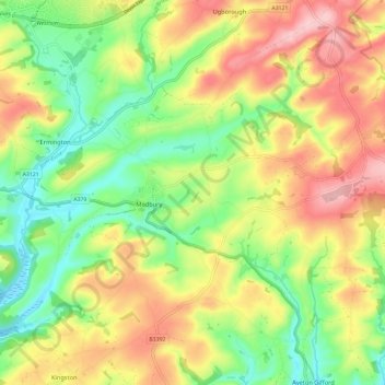
Name: Modbury topographic map, elevation, terrain.
Location: Modbury, South Hams, Devon, England, United Kingdom (50.32270 -3.93867 50.38086 -3.82085)
Average elevation: 83 m
Minimum elevation: -3 m
Maximum elevation: 182 m