
Oratorio topographic map
Interactive map
Click on the map to display elevation.
About this map
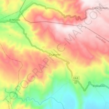
Name: Oratorio topographic map, elevation, terrain.
Location: Oratorio, Santa Rosa, Guatemala (14.19213 -90.22018 14.27213 -90.14018)
Average elevation: 1,003 m
Minimum elevation: 520 m
Maximum elevation: 1,417 m