
Quintã topographic map
Interactive map
Click on the map to display elevation.
About this map
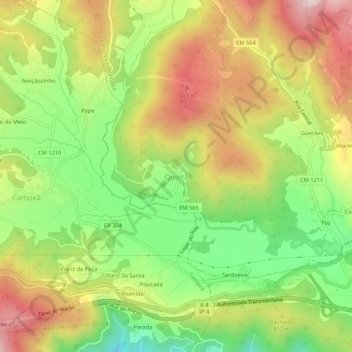
Name: Quintã topographic map, elevation, terrain.
Location: Quintã, Vila Real, 5000-071, Portugal (41.27349 -7.87721 41.31349 -7.83721)
Average elevation: 779 m
Minimum elevation: 557 m
Maximum elevation: 1,022 m
Other topographic maps
Click on a map to view its topography, its elevation and its terrain.
Lamas de Olo
Portugal > Vila Real > Vila Real
Lamas de Olo, Vila Real, 4880-122, Portugal
Average elevation: 1,084 m