
Indian Pond topographic map
Interactive map
Click on the map to display elevation.
About this map
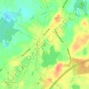
Name: Indian Pond topographic map, elevation, terrain.
Average elevation: 42 m
Minimum elevation: 17 m
Maximum elevation: 68 m
Other topographic maps
Click on a map to view its topography, its elevation and its terrain.
Silver Lake
United States > Massachusetts > Plymouth County > Kingston > Silver Lake
Silver Lake, Kingston, Plymouth County, Massachusetts, United States
Average elevation: 21 m