
Padola topographic map
Interactive map
Click on the map to display elevation.
About this map
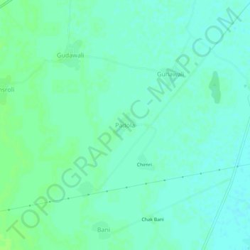
Name: Padola topographic map, elevation, terrain.
Location: Padola, Kumher Tehsil, Bharatpur, Rajasthan, 321201, India (27.24131 77.28182 27.28131 77.32182)
Average elevation: 187 m
Minimum elevation: 183 m
Maximum elevation: 192 m