
Gemiş topographic map
Interactive map
Click on the map to display elevation.
About this map
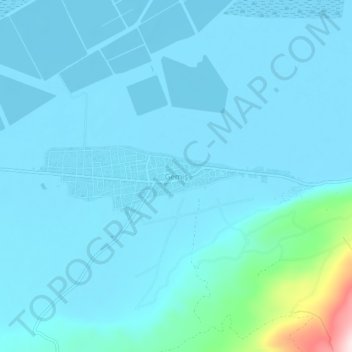
Name: Gemiş topographic map, elevation, terrain.
Location: Gemiş, Çardak, Denizli, Ege Bölgesi, Turquie (37.75326 29.80276 37.79326 29.84276)
Average elevation: 878 m
Minimum elevation: 836 m
Maximum elevation: 1,306 m
Other topographic maps
Click on a map to view its topography, its elevation and its terrain.