
Haut-Intyamon topographic map
Interactive map
Click on the map to display elevation.
About this map
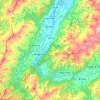
Name: Haut-Intyamon topographic map, elevation, terrain.
Location: Haut-Intyamon, District de la Gruyère, Fribourg, 1669, Suisse (46.43791 6.97783 46.54600 7.10962)
Average elevation: 1,304 m
Minimum elevation: 721 m
Maximum elevation: 2,346 m