
Thank you for supporting this site ❤️
Make a donation
Make a donation
Beachwood topographic map
Click on the map to display elevation.
Thank you for supporting this site ❤️
Make a donation
Make a donation
About this map
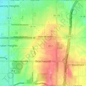
Name: Beachwood topographic map, elevation, terrain.
Location: Beachwood, Cuyahoga County, Ohio, 44122, United States (41.44966 -81.53223 41.50137 -81.48064)
Average elevation: 344 m
Minimum elevation: 308 m
Maximum elevation: 385 m
Thank you for supporting this site ❤️
Make a donation
Make a donation