
Grootfontein topographic map
Click on the map to display elevation.
About this map
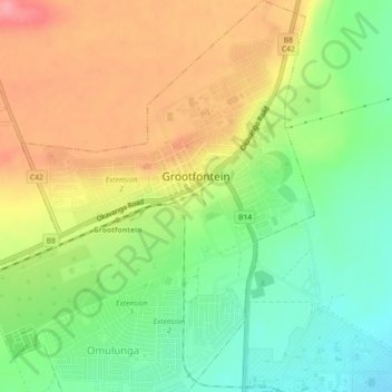
Name: Grootfontein topographic map, elevation, terrain.
Location: Grootfontein, Otjozondjupa, Namibia (-19.58770 18.07816 -19.54540 18.11870)
Average elevation: 1,454 m
Minimum elevation: 1,408 m
Maximum elevation: 1,506 m
Other topographic maps
Click on a map to view its topography, its elevation and its terrain.