
Blytheswood topographic map
Interactive map
Click on the map to display elevation.
About this map
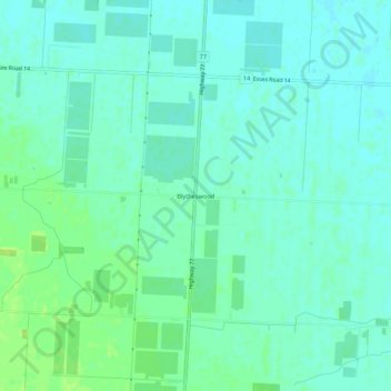
Name: Blytheswood topographic map, elevation, terrain.
Average elevation: 194 m
Minimum elevation: 189 m
Maximum elevation: 202 m
Other topographic maps
Click on a map to view its topography, its elevation and its terrain.
Oakland
Canada > Ontario > Essex County > Leamington
Oakland, Leamington, Essex County, Ontario, N0P 2J0, Canada
Average elevation: 191 m