
Эжанцы topographic map
Interactive map
Click on the map to display elevation.
About this map
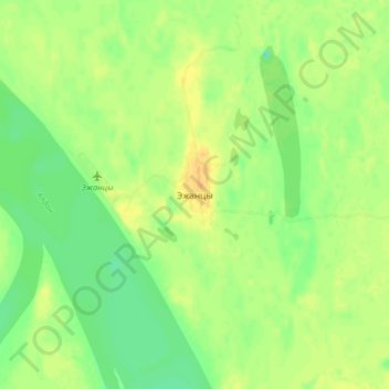
Name: Эжанцы topographic map, elevation, terrain.
Average elevation: 152 m
Minimum elevation: 138 m
Maximum elevation: 164 m
Other topographic maps
Click on a map to view its topography, its elevation and its terrain.
Ust-Maya
Russia > Sakha Republic > Ust-Maysky Ulus > Ust-Maya
Ust-Maya, городское поселение Усть-Мая, Ust-Maysky Ulus, Sakha Republic, Far Eastern Federal District, 678620, Russia
Average elevation: 166 m
Суордах
Russia > Sakha Republic > Ust-Maysky Ulus
Суордах, городское поселение Усть-Мая, Ust-Maysky Ulus, Sakha Republic, Far Eastern Federal District, Russia
Average elevation: 271 m