
Verner topographic map
Interactive map
Click on the map to display elevation.
About this map
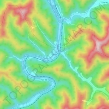
Name: Verner topographic map, elevation, terrain.
Location: Verner, Mingo County, West Virginia, 25620, USA (37.64344 -81.87040 37.68344 -81.83040)
Average elevation: 383 m
Minimum elevation: 223 m
Maximum elevation: 634 m