
Taung Kyun topographic map
Interactive map
Click on the map to display elevation.
About this map
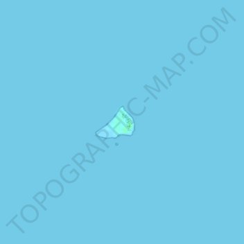
Name: Taung Kyun topographic map, elevation, terrain.
Location: Taung Kyun, Myanmar (18.58169 93.77826 18.58527 93.78281)
Average elevation: 0 m
Minimum elevation: -1 m
Maximum elevation: 5 m