
Thank you for supporting this site ❤️
Make a donation
Make a donation
Ha Motheo topographic map
Click on the map to display elevation.
Thank you for supporting this site ❤️
Make a donation
Make a donation
About this map
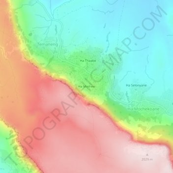
Name: Ha Motheo topographic map, elevation, terrain.
Location: Ha Motheo, Temaneng, Maseru District, Lesotho (-29.48177 27.46471 -29.44177 27.50471)
Average elevation: 1,779 m
Minimum elevation: 1,564 m
Maximum elevation: 2,030 m
Thank you for supporting this site ❤️
Make a donation
Make a donation