
Browns Park topographic map
Interactive map
Click on the map to display elevation.
About this map
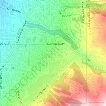
Name: Browns Park topographic map, elevation, terrain.
Location: Browns Park, Bountiful, Davis County, Utah, 84010, USA (40.85883 -111.86494 40.87883 -111.84494)
Average elevation: 1,556 m
Minimum elevation: 1,370 m
Maximum elevation: 1,842 m