
Kaisten topographic map
Interactive map
Click on the map to display elevation.
About this map
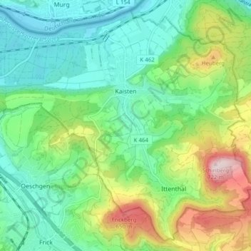
Name: Kaisten topographic map, elevation, terrain.
Location: Kaisten, Bezirk Laufenburg, Argovie, Suisse (47.50783 8.00761 47.55530 8.08407)
Average elevation: 420 m
Minimum elevation: 291 m
Maximum elevation: 718 m