
Thank you for supporting this site ❤️
Make a donation
Make a donation
Hog Mountain topographic map
Click on the map to display elevation.
Thank you for supporting this site ❤️
Make a donation
Make a donation
About this map
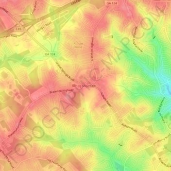
Name: Hog Mountain topographic map, elevation, terrain.
Location: Hog Mountain, Gwinnett County, Georgia, 30091, United States (34.02955 -83.94907 34.06955 -83.90907)
Average elevation: 337 m
Minimum elevation: 280 m
Maximum elevation: 365 m
Thank you for supporting this site ❤️
Make a donation
Make a donation
Other topographic maps
Click on a map to view its topography, its elevation and its terrain.