
Thank you for supporting this site ❤️
Make a donation
Make a donation
Hopsten topographic map
Click on the map to display elevation.
Thank you for supporting this site ❤️
Make a donation
Make a donation
About this map
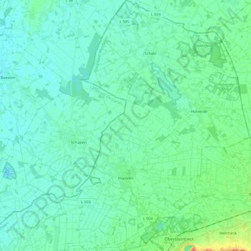
Name: Hopsten topographic map, elevation, terrain.
Location: Hopsten, Kreis Steinfurt, Noordrijn-Westfalen, 48496, Duitsland (52.33988 7.53949 52.47501 7.71382)
Average elevation: 40 m
Minimum elevation: 30 m
Maximum elevation: 85 m
Thank you for supporting this site ❤️
Make a donation
Make a donation
Other topographic maps
Click on a map to view its topography, its elevation and its terrain.
Isendorf-Beckwermert
Duitsland > Noordrijn-Westfalen > Kreis Steinfurt > Emsdetten
Average elevation: 42 m
Leeden
Duitsland > Noordrijn-Westfalen > Kreis Steinfurt > Tecklenburg > Leeden
Average elevation: 104 m
Thank you for supporting this site ❤️
Make a donation
Make a donation