
Brloh topographic map
Interactive map
Click on the map to display elevation.
About this map
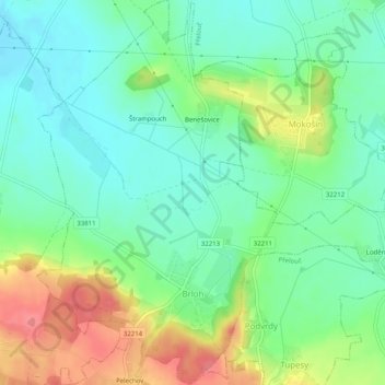
Name: Brloh topographic map, elevation, terrain.
Location: Brloh, okres Pardubice, Pardubický kraj, Noordoost, Tsjechië (49.99296 15.53693 50.02515 15.56817)
Average elevation: 239 m
Minimum elevation: 212 m
Maximum elevation: 288 m