
Dorneda topographic map
Interactive map
Click on the map to display elevation.
About this map
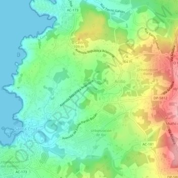
Name: Dorneda topographic map, elevation, terrain.
Location: Dorneda, Oleiros, La Coruña, Galicia, 15178, España (43.34416 -8.35159 43.36795 -8.30758)
Average elevation: 60 m
Minimum elevation: 0 m
Maximum elevation: 173 m