
Thank you for supporting this site ❤️
Make a donation
Make a donation
Khami topographic map
Click on the map to display elevation.
Thank you for supporting this site ❤️
Make a donation
Make a donation
About this map
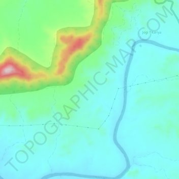
Name: Khami topographic map, elevation, terrain.
Location: Khami, Dindori Tahsil, Dindori, Madhya Pradesh, India (22.92955 81.00128 22.98352 81.03167)
Average elevation: 701 m
Minimum elevation: 637 m
Maximum elevation: 943 m
Thank you for supporting this site ❤️
Make a donation
Make a donation