
Calderas topographic map
Interactive map
Click on the map to display elevation.
About this map
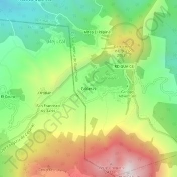
Name: Calderas topographic map, elevation, terrain.
Location: Calderas, Amatitlán, Guatemala (14.38949 -90.61585 14.42949 -90.57585)
Average elevation: 1,877 m
Minimum elevation: 1,405 m
Maximum elevation: 2,531 m