
Dahlen topographic map
Interactive map
Click on the map to display elevation.
About this map
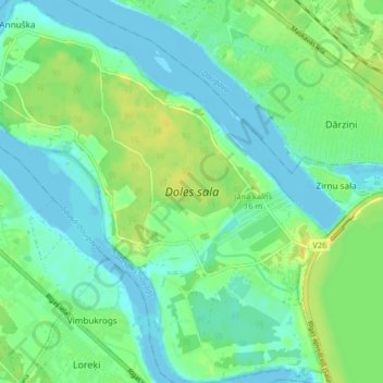
Name: Dahlen topographic map, elevation, terrain.
Location: Dahlen, Salaspils pagasts, Salaspils novads, Livland, Lettland (56.83367 24.19383 56.87840 24.27085)
Average elevation: 8 m
Minimum elevation: -2 m
Maximum elevation: 21 m