
Dandougou topographic map
Interactive map
Click on the map to display elevation.
About this map
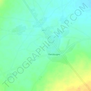
Name: Dandougou topographic map, elevation, terrain.
Location: Dandougou, Cercle de Dioïla, Koulikoro, Mali (12.55021 -6.49862 12.56162 -6.48866)
Average elevation: 312 m
Minimum elevation: 300 m
Maximum elevation: 330 m