
La Ventura topographic map
Interactive map
Click on the map to display elevation.
About this map
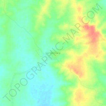
Name: La Ventura topographic map, elevation, terrain.
Location: La Ventura, Magangué, Mojana, Bolívar, RAP Caribe, Colombia (9.20502 -74.90082 9.24502 -74.86082)
Average elevation: 60 m
Minimum elevation: 40 m
Maximum elevation: 89 m