
Caserío topographic map
Interactive map
Click on the map to display elevation.
About this map
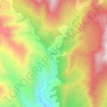
Name: Caserío topographic map, elevation, terrain.
Location: Caserío, Norte de Santander, Colombia (7.43577 -72.54935 7.47577 -72.50935)
Average elevation: 2,555 m
Minimum elevation: 2,107 m
Maximum elevation: 2,956 m