
Thank you for supporting this site ❤️
Make a donation
Make a donation
Sungai Besar topographic map
Click on the map to display elevation.
Thank you for supporting this site ❤️
Make a donation
Make a donation
About this map
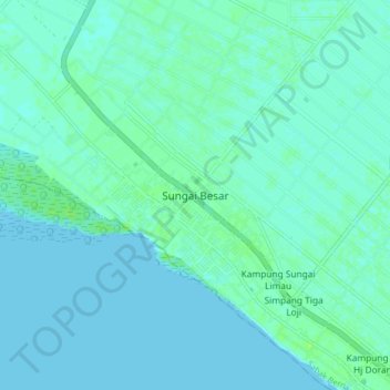
Name: Sungai Besar topographic map, elevation, terrain.
Location: Sungai Besar, Sabak Bernam, Selangor, 45300, Malaysia (3.63771 100.94803 3.71771 101.02803)
Average elevation: 3 m
Minimum elevation: -1 m
Maximum elevation: 10 m
Thank you for supporting this site ❤️
Make a donation
Make a donation
Other topographic maps
Click on a map to view its topography, its elevation and its terrain.