
Thank you for supporting this site ❤️
Make a donation
Make a donation
Swandale topographic map
Click on the map to display elevation.
Thank you for supporting this site ❤️
Make a donation
Make a donation
About this map
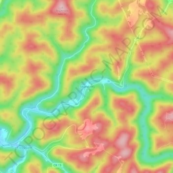
Name: Swandale topographic map, elevation, terrain.
Location: Swandale, Clay County, West Virginia, United States (38.45066 -80.97955 38.49066 -80.93955)
Average elevation: 369 m
Minimum elevation: 249 m
Maximum elevation: 471 m
Thank you for supporting this site ❤️
Make a donation
Make a donation